The Atlas Mountains
High Atlas, Middle Atlas, Anti-Atlas — elevation profiles, Toubkal, ski stations, transhumance
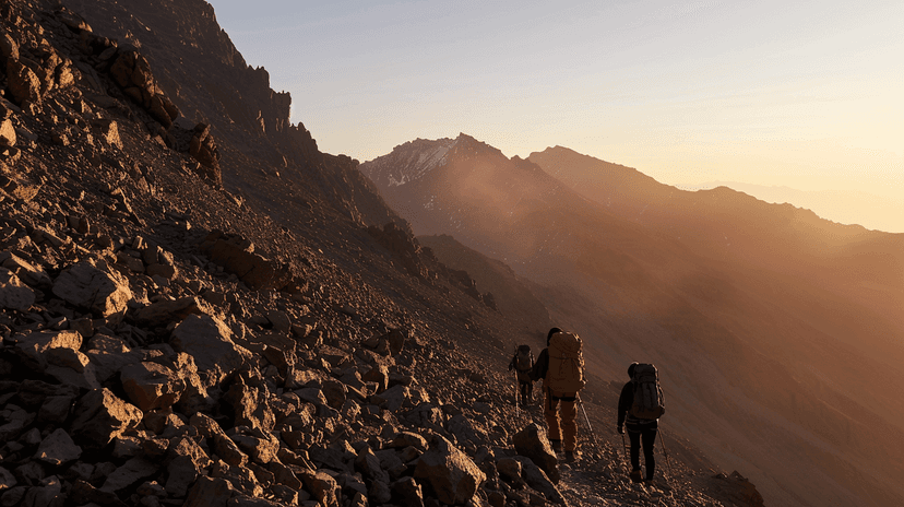
The High Atlas runs 700 kilometres from the Atlantic coast near Agadir to the Algerian border. Jebel Toubkal, at 4,167 metres, is the highest peak in North Africa. The range is young — still rising — and its peaks carry snow from November to May. The passes — Tizi n'Tichka at 2,260 metres, Tizi n'Test at 2,092 metres — are the only road crossings between Marrakech and the south.
The Middle Atlas is gentler — rolling highlands of cedar forest, volcanic lakes, and alpine meadows. Ifrane, at 1,665 metres, is Morocco's coldest city and home to Al Akhawayn University. Michlifen and Jebel Hebri offer skiing in winter — modest by Alpine standards but real, with lifts and rentals. The cedar forests around Azrou shelter the last population of Barbary macaques in Morocco.
The Anti-Atlas is the oldest — Precambrian rock, some of it over 2 billion years old. It is lower and drier than the other ranges, but its geology is extraordinary. The painted desert landscapes around Tafraoute — pink granite boulders against almond groves — are unlike anything else in the country. Amethyst and minerals are mined in the region.
The mountains create Morocco's climate zones. North of the Atlas receives Mediterranean rainfall. South is Saharan. The mountains capture moisture from Atlantic weather systems, wringing rain from the clouds before they cross to the other side. This rain shadow effect is why the Souss is semi-arid and the Draa is desert.
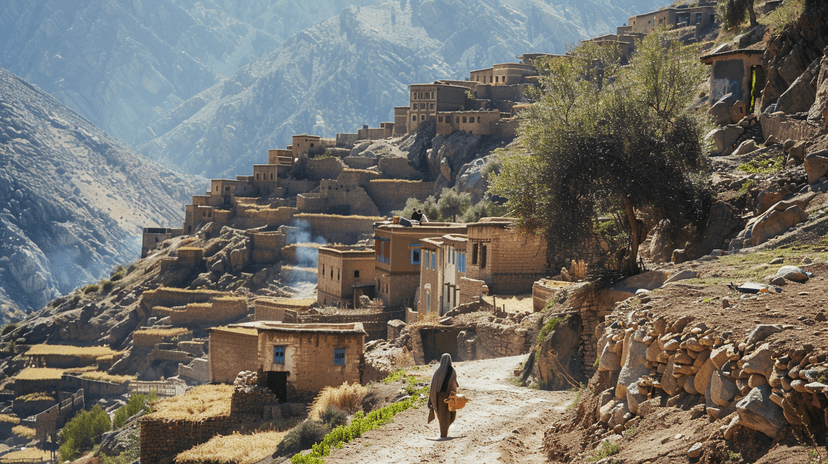
Transhumance — seasonal migration between lowland winter pastures and highland summer grazing — has been practised for millennia. Amazigh herders move their flocks to high pastures above 2,500 metres in June and return in September. The agdal system — collective management of grazing lands with enforced rest periods — is one of the oldest conservation practices in the world.
Explore the full interactive module — with elevation profiles, peak data, ski stations, and the transhumance routes mapped — at Dancing with Lions: https://www.dancingwiththelions.com/data/atlas-mountains
Interactive Module
Data and visualisation by Dancing with Lions