The Caravan Navigators
Crossing the Sahara by star and stone
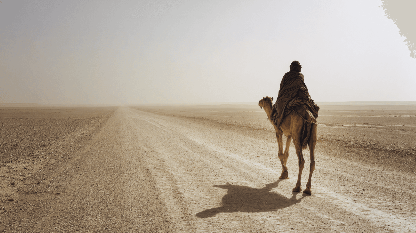
The stars are the same stars that guided his great-great-grandfather. The wind on his face carries the same information. Fifteen hundred miles of empty sand, and he knows the way home.
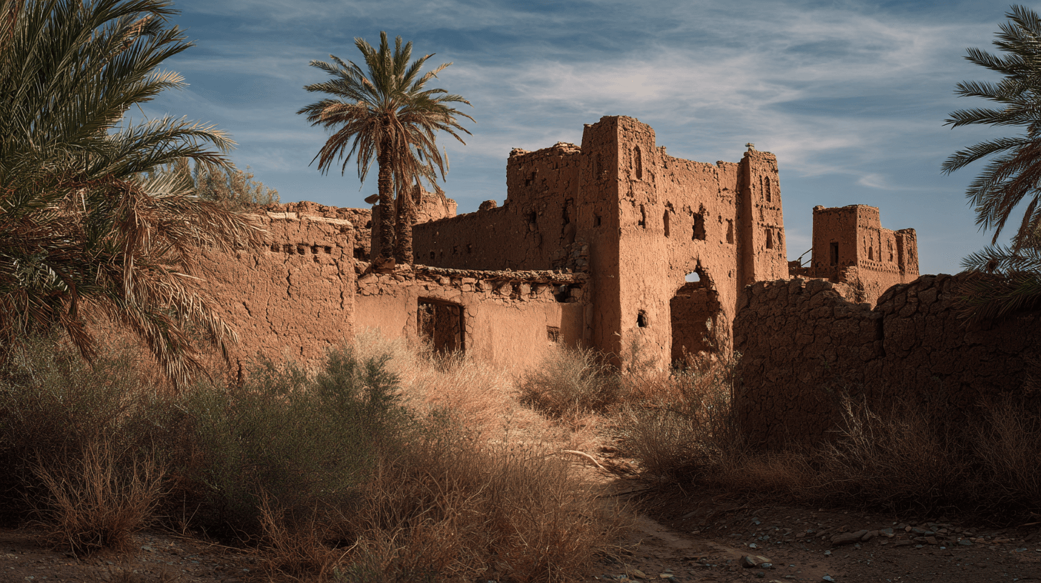
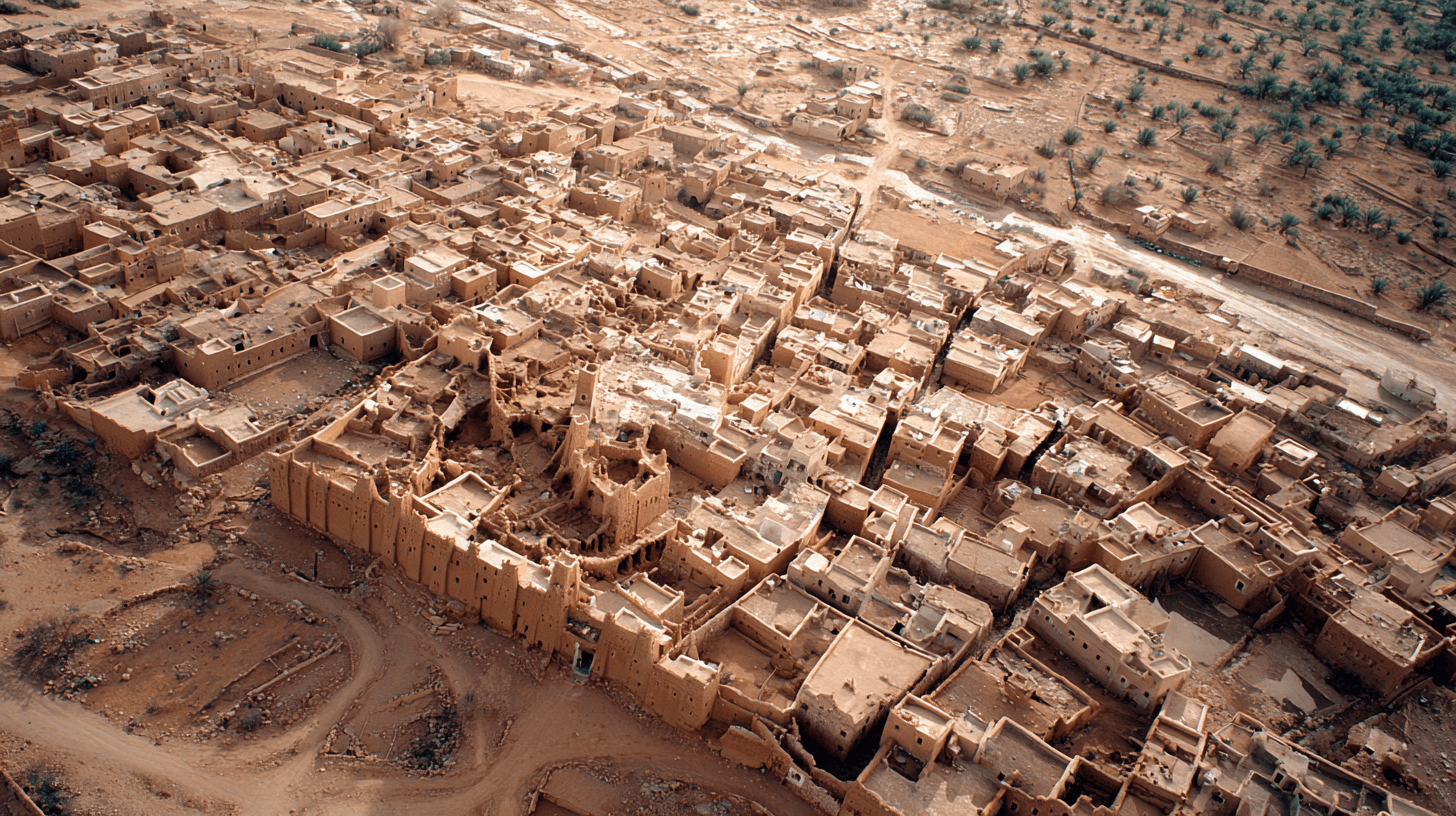
Before GPS, before compass, before any instrument that could be lost or broken, Saharan navigators crossed distances that would terrify a modern traveler. Timbuktu to Sijilmassa. Ghadames to Agadez. The empty quarter where no landmark survives and no map could help. They found their way, and they did it with their eyes, their memories, and their understanding of a desert that most people see as featureless.
The night sky was the primary map. Polaris for north, obviously. But also the rising and setting points of key stars, which shift through the seasons. The angle of Canopus above the horizon told you your latitude with surprising precision. The Milky Way, oriented correctly, pointed the way to major oases.
But the desert is not featureless to those who learned to see. Rock formations have names, passed down through generations of navigators. The color of sand changes with location — a gradient that locals can read but outsiders cannot perceive. Prevailing winds shape dunes into patterns that indicate direction. Even the taste of water from different wells serves as confirmation.
The navigators also read time. A certain journey should take so many days. If you've traveled that long and haven't reached the expected well, something is wrong. Course correction was constant — a mental calculus running beneath awareness, comparing expectation against reality.
The great navigators were celebrities. A caravan might include thousands of camels and hundreds of men, all of whose lives depended on one person's ability to find water in a blank immensity. These men were paid accordingly, treated with respect that bordered on reverence, and consulted like oracles when conditions turned uncertain.
Trucks and satellites have made the knowledge optional. But in the deep desert, they still tell stories of navigators who never erred, who could smell water from ten kilometers, who walked out of sandstorms that killed everyone else. The skills are fading. The stories remain, glowing like stars in a darkening sky.
The Facts
- •Trade routes spanned 1,500+ miles
- •Navigation used stars, dune patterns, wind direction, and rock formations
- •Major stars included Polaris, Canopus, and Pleiades cluster
- •Navigators could determine latitude within ~50 miles using stellar observation
- •Salt/gold caravans could include 10,000+ camels
- •Key wells were memorized across 40+ day journeys
- •Navigation knowledge passed through specific family lineages
Sources
- Bovill, E.W. 'The Golden Trade of the Moors.' Oxford University Press
- Lydon, Ghislaine. 'On Trans-Saharan Trails.' Cambridge University Press
- Webb, James L.A. 'Desert Frontier.' University of Wisconsin Press