The Collision
What you're looking at when you look at the Atlas
The mountains are not standing still. They are rising, centimeter by centimeter, as Africa pushes north into Europe. The collision that built the Alps is building them too.
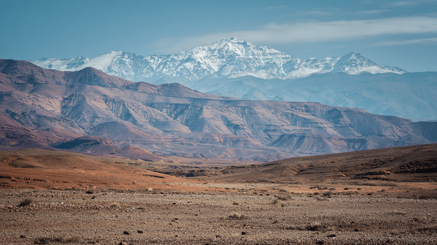
From the Agafay plateau, the High Atlas fills the southern horizon like a jagged wound in the sky. On clear winter days, snow covers the highest peaks — Toubkal at 4,167 meters, Ighil m'Goun at 4,071 — and the light turns them pink at dawn and violet at dusk. They look eternal. They are not. They are still being made.
The story begins 300 million years ago, in the Paleozoic, when the first phase of mountain building created the Anti-Atlas to the south. Then, during the Mesozoic — the age of dinosaurs — the earth's crust stretched and thinned, opening a rift valley that filled with sediment. For millions of years, this was the floor of a shallow sea. The rocks that now form the High Atlas peaks were deposited underwater, layer by layer, as marine sediment.
Around 180 million years ago, dinosaurs walked here. The Atlasaurus — named for these mountains — was a 15-meter sauropod, an ancestor of the giants that would later dominate the Americas. Its bones were found near Azilal, in the central High Atlas, proof that this landscape has been transformed beyond recognition.
The final act began 65 million years ago, when the African plate started pushing north. The same collision that closed the Mediterranean, raised the Alps and Pyrenees, and created the Strait of Gibraltar also lifted the Atlas ranges. The old rift valley inverted. Layers of sediment that had been flat became folded, faulted, thrust upward into peaks.
The process continues. GPS measurements show Africa moving toward Europe at about 4 millimeters per year. The Atlas is still rising. Earthquakes still strike — Agadir was destroyed in 1960, Al Haouz in 2023. The mountains you see from Agafay are not monuments to the past. They are works in progress.
What strikes geologists about the Atlas is how high it is relative to how little the crust has thickened. Normally, mountains this tall require massive compression, plates crumpling into each other like car hoods in a collision. The Atlas doesn't show that. Recent studies suggest something deeper is at work — hot material rising from the Earth's mantle, pushing the range up from below. The collision provides the trigger, but the lift comes from underneath.
From the hammada, you can see the sedimentary layers exposed on the mountain flanks — purple, green, white, black bands of rock that formed on an ocean floor and now hang in the sky. The Atlas is a library of geological time, its chapters written in limestone and sandstone, readable if you know the language.
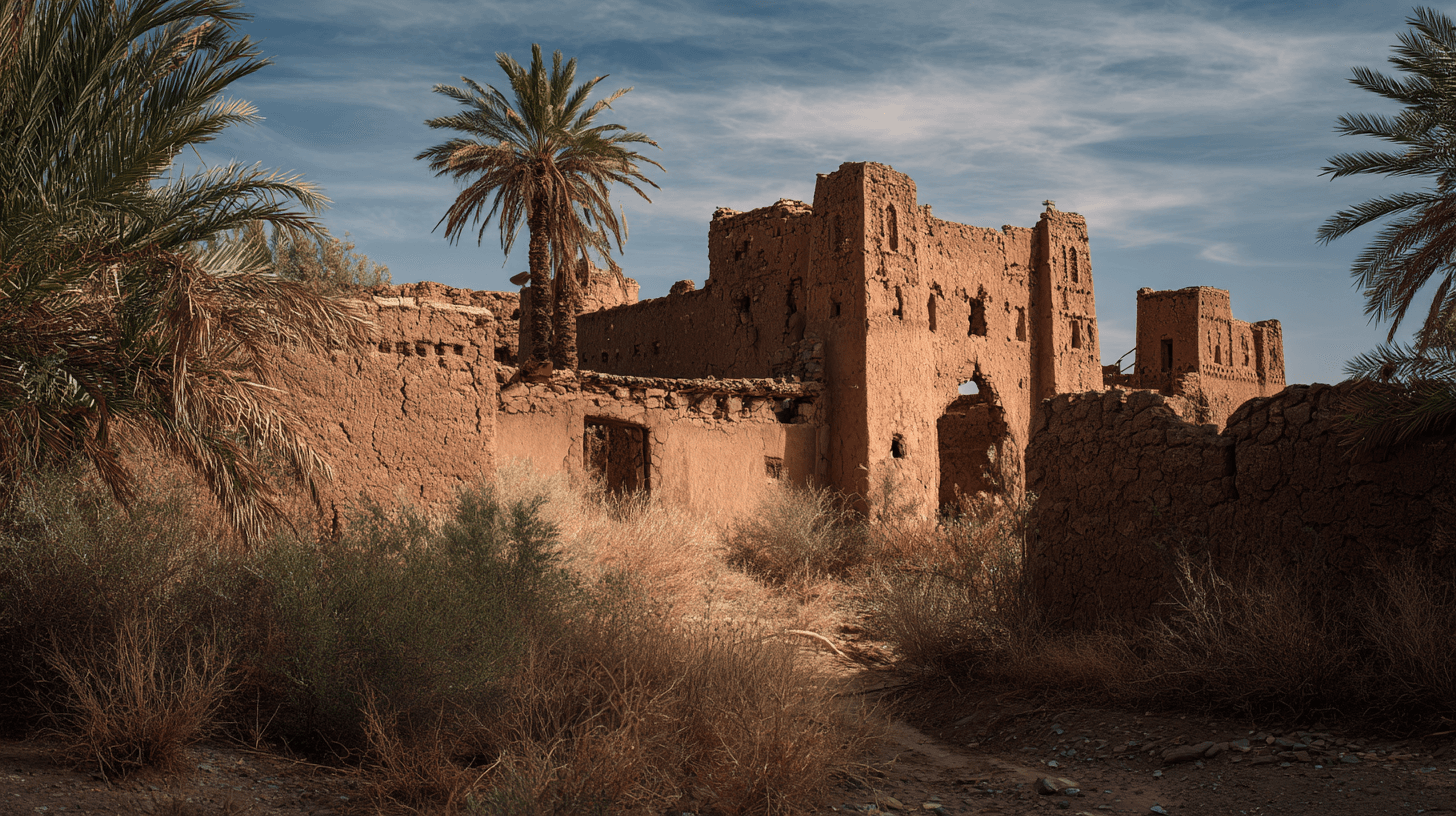
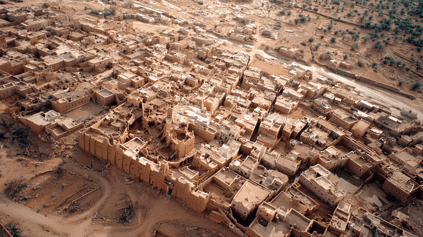
The Amazigh call the mountains "Idraren Draren" — the Mountains of Mountains. They have lived in their valleys for thousands of years, building terraced fields and stone villages, adapting to a landscape that is, in geological terms, brand new. The peaks they see every morning are younger than many of the human migrations that brought their ancestors here.
Africa is still moving. The mountains are still rising. From the Agafay plateau, forty kilometers away, you watch the collision happen in geological slow motion — a process measured in millions of years, visible in a single glance.
The Facts
- •High Atlas formed over 300+ million years in three phases
- •Toubkal (4,167m) is highest peak in North Africa
- •Ighil m'Goun (4,071m) is second highest
- •Africa moves toward Europe at ~4mm per year
- •Same collision created the Alps, Pyrenees, and Strait of Gibraltar
- •Atlasaurus dinosaur fossils found near Azilal, ~180 million years old
- •2023 Al Haouz earthquake (magnitude 6.8) killed 3,000+ people
- •Sedimentary layers visible on mountain flanks formed underwater
- •Recent studies suggest mantle upwelling contributes to Atlas elevation