Medina Data
Population density, building height, street width, mosque count — the metrics of Morocco's old cities
The medina of Fes el-Bali is the largest car-free urban zone in the world. Approximately 156,000 people live within 280 hectares — a density of over 55,000 people per square kilometre. For comparison, Manhattan averages 27,000. The medina achieves this density at a maximum building height of three to four storeys. No elevators. No parking structures. No wide boulevards.
The street network is dendritic — branching from wide commercial arteries into progressively narrower residential lanes that terminate in dead ends (derbs). The pattern is not random. It is a privacy gradient: the most public spaces (souks, mosques, fondouks) sit on the main arteries. The most private spaces (homes) sit at the ends of dead-end lanes accessible only to residents and their guests.
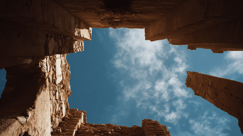
Shade coverage exceeds 70% in most medinas during summer months. The narrow streets — often less than two metres wide — combined with projecting upper floors and covered passages create continuous shade. Surface temperatures in shaded medina streets can be 10-15°C lower than exposed modern streets nearby. The medina is a passive cooling machine.
Every neighbourhood has a mosque, a hammam, a fountain, a bakery, and a primary school within walking distance. The 15-minute city — a concept promoted by contemporary urbanists — has existed in Moroccan medinas for a thousand years. The difference is that the medina achieves it at a fraction of the infrastructure cost.
Water infrastructure is embedded. Fountains — public and private — punctuate every quarter. The traditional system drew from rivers, aqueducts, and khettaras. Modern piped water has replaced the old sources, but the distribution points remain. The hammam consumes the most water per neighbourhood — it is both bath and social centre.
The data contradicts the assumption that medinas are obsolete. By the metrics that matter — density, walkability, shade, resource efficiency, community access — they outperform suburban sprawl and most modernist planning. The question is not whether the medina model works. The question is whether anyone is still building it.
Explore the full interactive module — with density maps, shade analysis, street network data, and the infrastructure metrics — at Dancing with Lions: https://www.dancingwiththelions.com/data/medina-data
Interactive Module
Data and visualisation by Dancing with Lions