On a clear day — and most days are clear — you can see another continent from the café terrace. The buildings of Tarifa are right there, white against the Spanish hillside, close enough to make you feel that the gap between Africa and Europe is more suggestion than barrier. It is 14.3 kilometres from Point Cires on the Moroccan coast to Point Marroquí on the Spanish side. Less than a half-marathon. A decent swimmer with the current could almost consider it.
Many have. And do. And die trying.
The strait has been crossed for as long as people have been crossing things. The Phoenicians sailed through it. The Romans called it Fretum Herculeum — the Strait of Hercules. In 711, Tariq ibn Ziyad crossed from Morocco to Spain with an army that would conquer most of the Iberian Peninsula in seven years. The rock where he landed — Jebel Tariq, the mountain of Tariq — became Gibraltar. The crossing that created al-Andalus took less than a day.
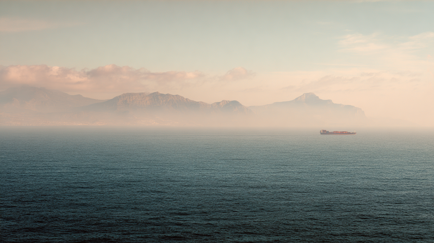
Today the strait carries over 100,000 vessel transits per year — one of the busiest shipping lanes on earth. Container ships, oil tankers, bulk carriers, naval vessels, ferries, and the occasional whale, all navigating a channel where the current runs at up to 4 knots and nobody has right of way except the laws of physics. The Tangier Med port, opened in 2007 on the southern shore, is now the largest container port in Africa and the Mediterranean. It was built in part because someone looked at this 14-kilometre gap and saw not a border but a chokepoint worth owning.
The strait is also a wall. Fortress Europe meets Africa here. SIVE — Spain's Integrated External Surveillance System — monitors the water with radar, infrared cameras, and patrol boats. Frontex operates in the area. Despite the surveillance, the crossings continue — in pateras, in rubber dinghies, by swimming, hidden in vehicles on the ferries. The distance is so short it feels possible. It is not always survivable.
Fourteen kilometres. You can see the lights at night. You can see the cars in the daytime. You can sit in Tangier and watch the ferries shuttle back and forth and think about what it means that the shortest distance between two continents is also one of the most heavily policed borders in the world. The strait doesn't care about any of this. It has been carrying boats for three thousand years and will carry them for three thousand more.
We drive the coast road to Cap Spartel where you can see Spain. On clear days, the distance is absurd — fourteen kilometres of water between continents.
Tell us about your trip →Data and visualisation by Dancing with Lions
The Facts
- —Strait of Gibraltar: 14km at narrowest
- —Connects Atlantic Ocean to Mediterranean Sea
- —Separates Africa from Europe
- —200+ ships pass daily
- —Migration route: Africa to Europe
- —Pillars of Hercules: Jebel Musa (Morocco) + Gibraltar
- —Ferry crossing: Tangier Med to Algeciras (35 min)
- —5.3 million years ago: Mediterranean refilled through this gap
Sources
- Pennell, C.R. Morocco Since 1830: A History. NYU Press, 2000
- Miller, Susan. A History of Modern Morocco. Cambridge University Press, 2013
- McMurray, David. In and Out of Morocco. University of Minnesota Press, 2001