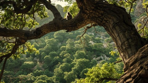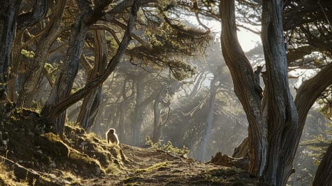
The road from Azrou climbs into cedar forest and the Barbary macaques sit in the middle of it, waiting. Cars stop. Monkeys take biscuits. Everyone takes photos. Nobody looks down.
They are standing on a volcano.
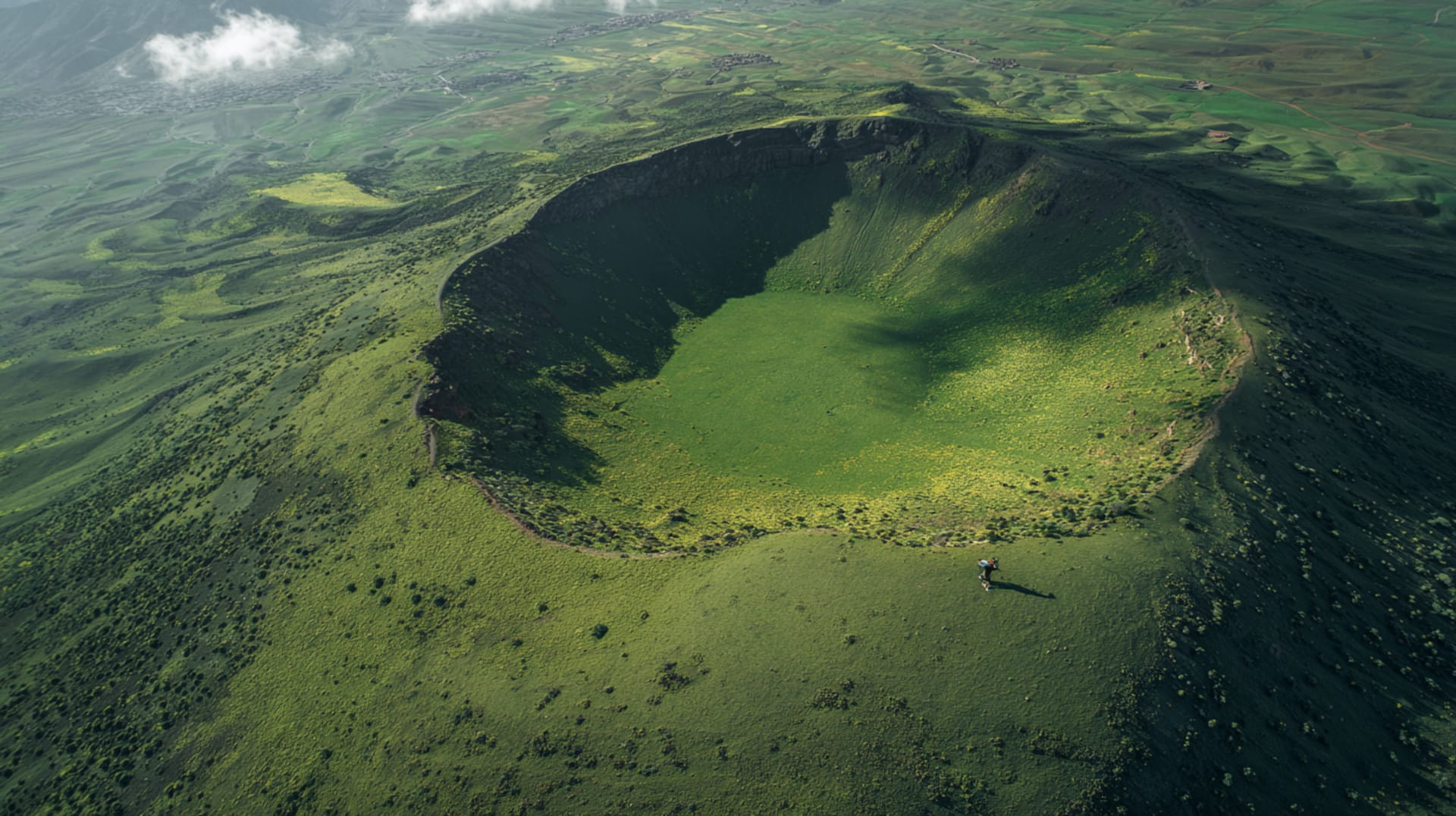
Not a metaphor. An actual volcano — the Timahdite maar, a shallow crater blasted open when rising magma hit underground water and the whole thing exploded upward. That was during the Quaternary period, which sounds ancient until you learn it is the same geological era that produced the first humans. Morocco and volcanoes were happening at the same time.
The crater is still there. Elliptical, about the size of a neighbourhood, filled now with alpine grass and ringed by cedar. From the road it looks like a dip in the ground. It is a maar. Geologists have a word for everything.
What the geologists also know, and the tourist brochures do not mention, is that the whole plateau between Azrou and Timahdite is volcanic. The dark rocks beside the road are basalt. The unusual flatness at this altitude is a lava field that cooled and solidified. The cedar trees are growing in volcanic soil, which drains differently from normal mountain earth, which is why this particular stretch produces a particular shade of green.
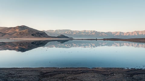
Aguelmane Azigza, the deep lake you pass on the way south, is sitting in a collapsed volcanic crater. Local fishermen have been casting lines into it for centuries. They call it the lake. They are not wrong.
Timahdite the town is famous for its sheep — a long-horned breed whose wool goes into a significant share of Morocco's domestic textiles — and for being the coldest place in the country. Minus ten in January is not unusual. Minus fifteen has happened. The town sits at 1,800 metres on a volcanic plateau and nobody built it for warmth.
The last eruption here was in the Pleistocene. Nothing is coming. But the next time you drive through the cedar forest and the macaque puts its hand through your window, consider that the ground you are parked on was, not so long ago in geological terms, on fire.
The Facts
- —— The Timahdite maar was formed when rising magma hit underground water and exploded upward — The Azrou-Timahdite plateau is a Quaternary volcanic province — same geological era as early humans — Aguelmane Azigza lake sits inside a collapsed volcanic crater — Timahdite regularly records Morocco's lowest temperatures — below -10°C in winter, -15°C recorded — Timahdite sheep are a distinct long-horned breed — their wool supplies a large share of Moroccan domestic textiles — Last volcanic activity: the Pleistocene, ended roughly 11,700 years ago — The dark rocks along the Azrou road are basalt from ancient lava flows
Sources
- El Azzouzi, M. et al. "Plio-Quaternary volcanism in Morocco." Journal of African Earth Sciences, 2010.
- Harmand, C. and Cantagrel, J.M. "Le volcanisme alcalin du Moyen Atlas." Bulletin of Volcanology, 1984.
- Charriere, A. "Héritage hercynien et évolution géodynamique alpine." PhD thesis, University of Toulouse, 1990.
Practical questions