The transect begins on the Haouz Plain at 450 metres. Marrakech sits in a semi-arid zone — olive groves, citrus orchards, irrigated agriculture sustained by Atlas snowmelt. Rainfall: 250mm per year. The vegetation is Mediterranean scrub and cultivated land. It does not look like the beginning of a journey to a different climate, but it is.
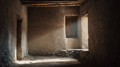
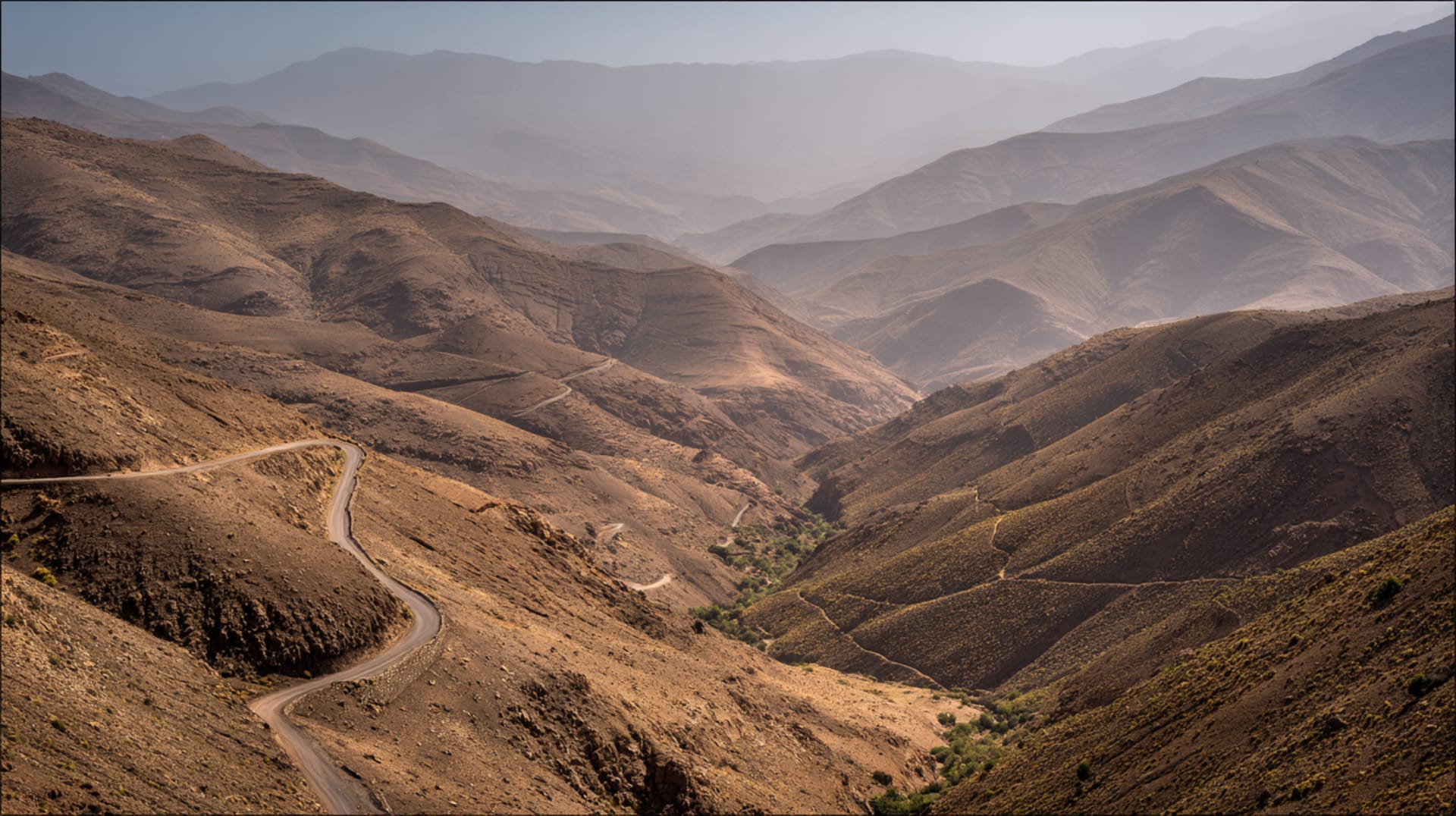
The ascent to Tizi n'Tichka — at 2,260 metres, the highest paved pass in Morocco — takes two hours by road and crosses every zone the country contains. Below 1,000 metres: argan trees, cactus, dry scrubland. Between 1,000 and 1,800 metres: juniper, holm oak, and terraced agriculture — walnuts, almonds, cherries, barley cultivated on narrow mountain terraces irrigated by channels that gravity operates free of charge. The villages here are stone-built, flat-roofed, clustered on slopes above the valley floor. The building material shifts from pisé to stone as you climb, because the mountain tells you what to build with and you listen.
Above 1,800 metres: the tree line shifts to Atlas cedar and Aleppo pine. The air cools. Rainfall increases. Snow falls above 2,000 metres in winter. The pass itself is bare rock and scrub — too high for trees, too exposed for cultivation. Temperatures drop below freezing on winter nights. The road winds through 60 kilometres of switchbacks that the French built in the 1930s and that trucks, buses, tourist vehicles, and donkeys share with a negotiating spirit that would impress most diplomats.
Over the pass, the descent into the Draa Valley reverses the sequence in fast-forward. Alpine scrub gives way to sparse juniper, then to barren hillsides, then to the first palm trees of the oasis. Within an hour of leaving the pass, the landscape is Saharan. The temperature has risen 15°C. The vegetation has changed completely. The architecture has changed — ksour and kasbahs of rammed earth, flat roofs, narrow windows designed to keep heat out rather than let light in.
Two hours of driving. Five climate zones. The Atlas is not just a mountain range. It is Morocco's thermostat, its water tower, and the wall between two entirely different countries that happen to share a name. Everything south of the pass depends on water that falls north of it. The mountains collect, the valleys spend. This has been the arrangement for longer than anyone has been measuring either.
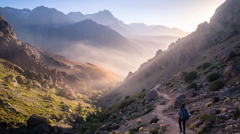
The vertical migration follows altitude, not latitude. Six days on the High Atlas trails crosses every climate zone.
Tell us about your trip →Data and visualisation by Dancing with Lions
The Facts
- —Vertical transhumance: altitude-based seasonal migration
- —Spring: flocks move to high pastures (azib)
- —Autumn: return to valley villages
- —40,000+ sheep move through High Atlas annually
- —Traditional grazing rights: communal land (agdal)
- —Shepherds' camps (azib) at 2,500-3,000m
- —Declining practice but still active in Ait Bouguemez
- —Linked to carpet production (wool supply)
Sources
- Chatty, Dawn. Nomadic Societies in the Middle East and North Africa. Brill, 2006
- Dresch, Jean. "Le massif du Toubkal." Revue de Géographie Alpine
- Moroccan Haut-Commissariat aux Eaux et Forêts. Pastoral migration surveys
Further Reading
Practical questions