High Atlas Mountains
The backbone of Morocco — a range 700 kilometres long that divides the Atlantic and Mediterranean north from the Saharan south. The High Atlas reaches 4,167 metres at Toubkal. It receives snow from November to April. It feeds the rivers that irrigate the Haouz plain and the Draa Valley. It is the reason Marrakech exists where it does.
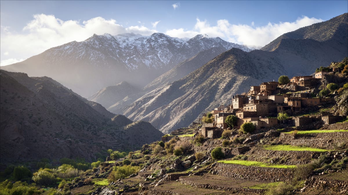
The High Atlas is the highest mountain range in North Africa. Jebel Toubkal, at 4,167 metres, is the summit. The range runs southwest to northeast for 750 kilometres, forming the barrier between the Mediterranean climate of northern Morocco and the pre-Saharan south.
The geography creates five distinct climate zones. The northern slopes receive rainfall and are green — oak, cedar, and juniper forests, terraced agriculture, rivers that run year-round. The southern slopes are dry — argan trees giving way to bare rock, then hamada, then sand. The passes — Tizi n'Tichka (2,260 m), Tizi n'Test (2,092 m) — are the crossing points, and driving them is one of the defining experiences of Moroccan travel.
The High Atlas is Amazigh territory. The communities here were never fully controlled by the central government — the mountains were the refuge, the resistance, the place where central authority stopped. The French called the uncontrolled regions the bled es-siba ("land of dissidence"). Independence in 1956 brought the mountains nominally under state control, but the cultural autonomy persists.
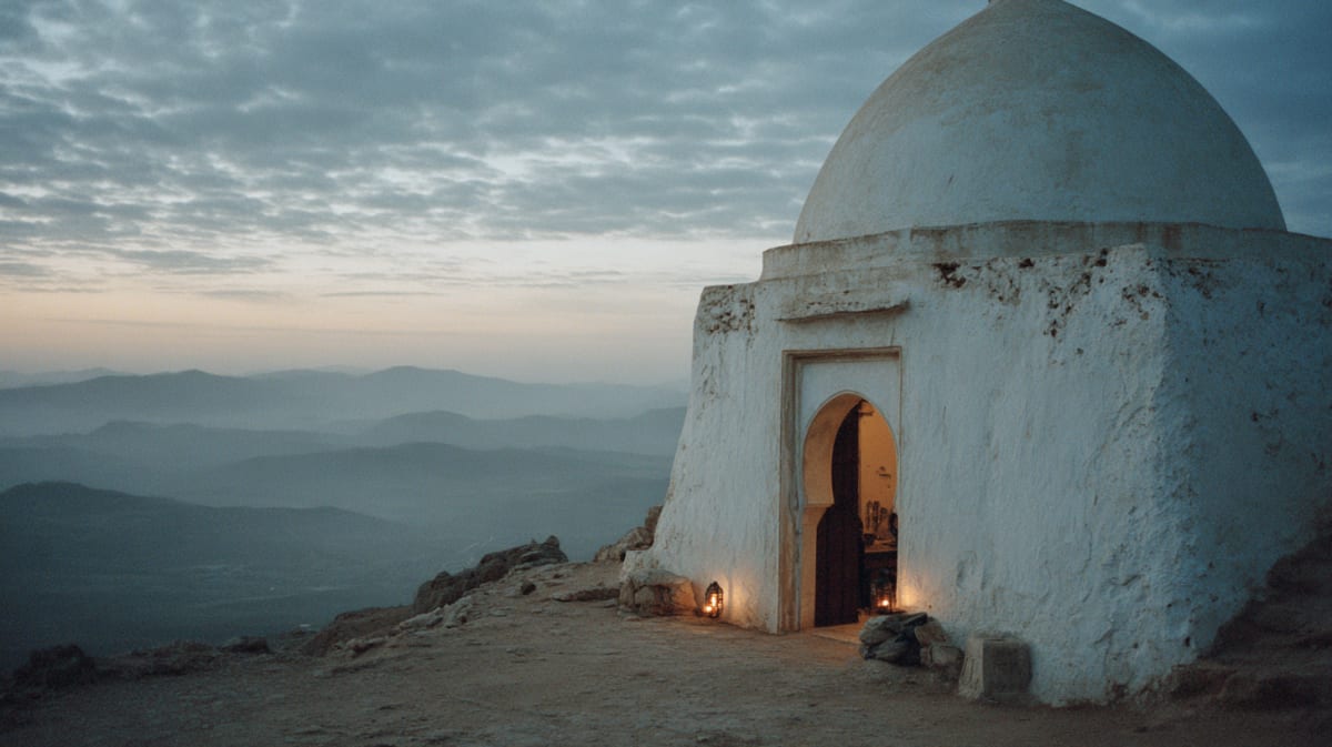
Trekking options range from day hikes in the Ourika Valley to multi-day traverses of the Toubkal circuit, the Mgoun Massif, or the remote Saghro range. The infrastructure — mountain refuges, mule teams, licensed guides — is well-established on the main routes and sparse on the secondary ones.
Visitor Information
Explore More
Related Stories
Discover the history and culture of Atlas-mountains
Walking Distance
