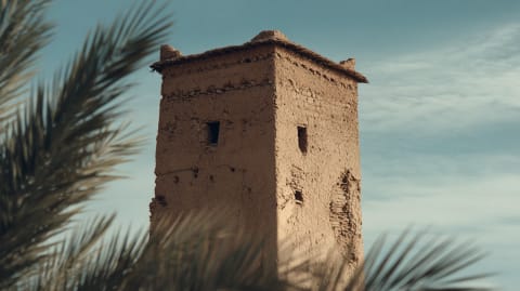
The village of Merzouga is being eaten. Not quickly. Not dramatically. But every year, the dunes of Erg Chebbi creep a little closer. Sand accumulates against walls. Doorways need digging out. Palm trees that stood in clearings now stand in dunes. The desert is patient. It has time. The village does not.
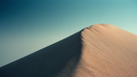
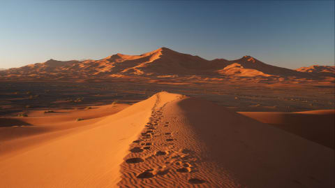
An erg is a sand sea — a region where wind has piled sand into massive dune systems that dwarf everything around them. Erg Chebbi covers about 50 square kilometres, with dunes reaching 150 metres high. It is the landscape you picture when you think "Sahara": endless waves of orange sand against blue sky, photogenic and indifferent to the people living at its edge.
But the waves are moving. Dunes migrate. Wind pushes sand up the windward slope and drops it over the crest, creating a slow-motion avalanche that moves the entire dune forward. In Erg Chebbi, the dominant wind pushes south. The dunes follow — about 10 metres per year on average, faster in stormy years.
Ten metres doesn't sound like much. Over a decade, it's a hundred. Over a century, a kilometre. Villages that were founded at a safe distance from the sand are now fighting it at their doorsteps. Oases that existed for generations are being smothered. The geography your grandparents knew is not the geography you'll leave to your grandchildren, which is a sentence that applies everywhere on earth but is literal here.
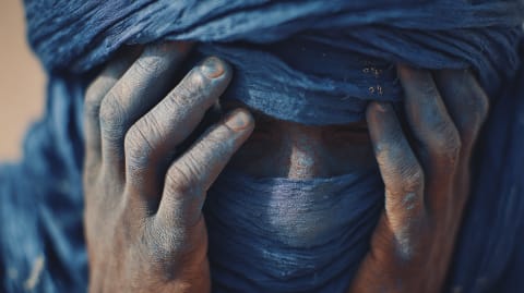
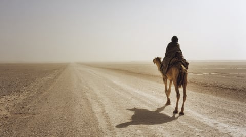
The locals adapt, because the locals have always adapted. They build walls to deflect sand. They plant barriers of tamarisk and palm fronds. They abandon buildings that become untenable and rebuild elsewhere. Some have converted from agriculture to tourism — the very dunes that threaten their homes bring visitors who pay to ride camels at sunset. The desert that takes with one hand gives with the other, and the people of Merzouga have learned to hold out both.
Climate change is accelerating the process. Drought weakens the vegetation that anchors sand. Rainfall, when it comes, is more erratic — violent storms that reshape dune fields overnight. The Sahara is expanding southward at a rate that satellite imagery has been tracking for decades. The data are not reassuring.
Merzouga will survive. It has survived before — the village has been buried and rebuilt more than once. But the dunes will not stop. They move because the wind moves, and the wind has never consulted a village about its plans.
The Atlas is still rising — the African plate pushing into Europe at two centimetres a year. Six days on the trails and you feel the scale.
Tell us about your trip →The Facts
- —Erg Chebbi covers approximately 50 km² near Merzouga
- —Dunes reach heights of 150 meters
- —Average dune migration is 5-15 meters per year
- —The Sahara has expanded approximately 10% since 1920
- —Desertification affects over 90% of Moroccan oases
- —Traditional sand barriers use tamarisk and palm fronds
- —Erg Chebbi is one of two major ergs in Morocco (the other is Erg Chigaga)
Sources
- Porch, Douglas. The Conquest of the Sahara. Knopf, 1984
- Julien, Charles-André. History of North Africa. Routledge, 1970
- Lancaster, William. The Rwala Bedouin Today. Cambridge University Press, 1981