Imlil
Hours
Always open
Entry
Free
Duration
120 minutes
Location
Imlil village
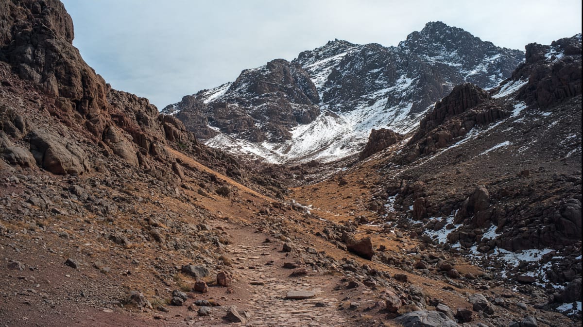
The path to North Africa's highest peak starts here, in a Berber village 1,740 meters up. Mules carry supplies; the summit waits two days away. Most visitors are content with Imlil.
01
The Gateway
Imlil is the trailhead for Jebel Toubkal and the hub of Atlas trekking. Until the 1990s it was a walnut-farming village accessible only by mule track. The road arrived, then the trekkers, then the guesthouses. It is now the most-visited village in the High Atlas — a transit point between Marrakech comfort and mountain reality.
02
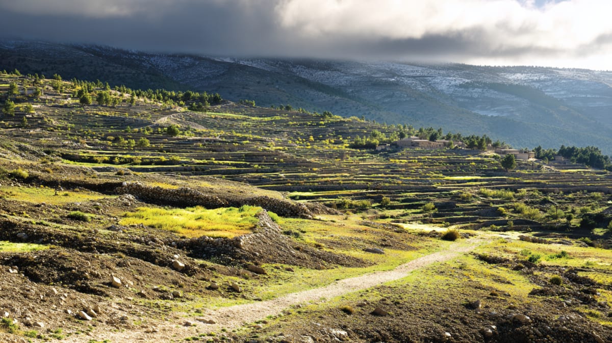
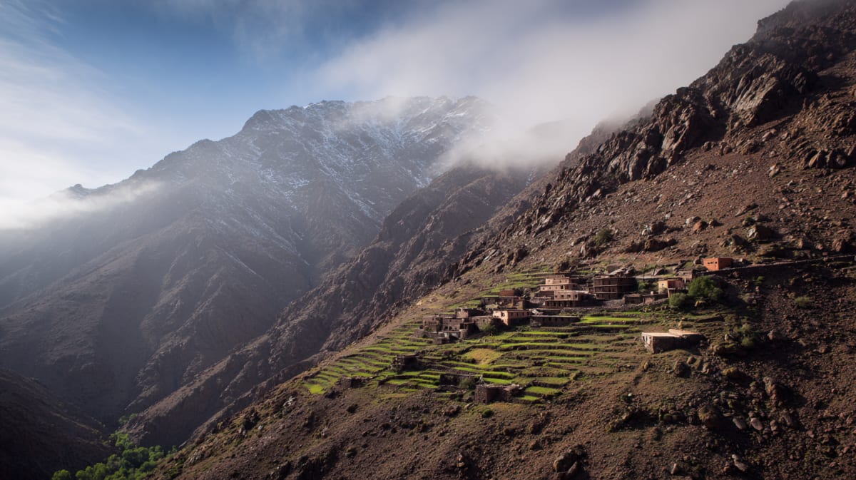
The Village
Stone and mud construction, terraced walnut orchards, a river valley with the Atlas rising steeply on both sides. The village has grown — new guesthouses, a few cafés, a parking area for tourist minibuses. The core is still village: mules on the path, women carrying fodder, irrigation channels running between houses.
03
Visiting
90 minutes from Marrakech by road. Day-trippers come for lunch and the views. Trekkers use it as the base for Toubkal (2-day minimum). The walk to Aroumd (45 minutes) or the Azzaden Valley gives non-trekkers a taste of the Atlas without a summit attempt.
Best Time to Visit
April-May for wildflowers. September-October for clear skies. Summer is hot at lower elevations but pleasant above 2,000m.
Getting There
90 minutes from Marrakech via Asni. Shared taxis from Asni to Imlil.
Local Tip
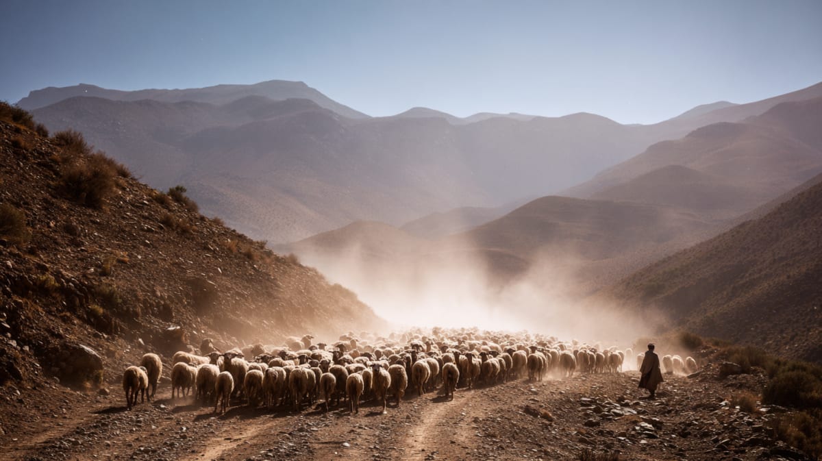
Mules available for hire. Guides required for summit.
Common Questions
Not legally required above the snow line since 2019 security restrictions were relaxed, but highly recommended. A guide is essential in winter.
Walking Distance
Nearby
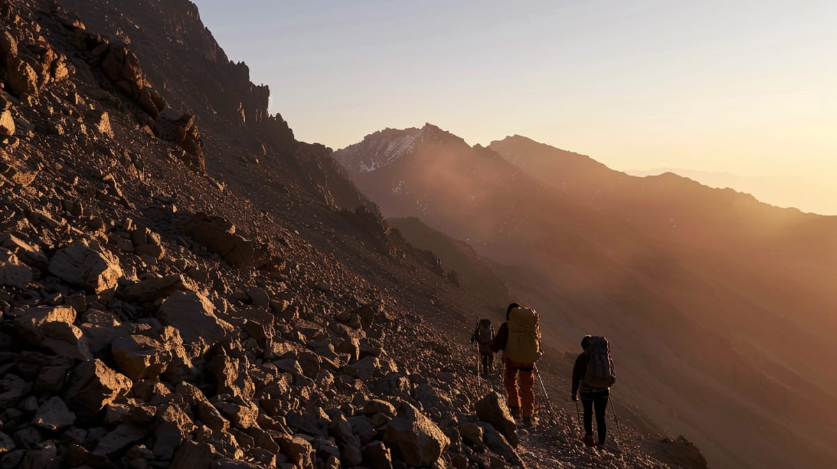
The trailhead at Imlil is ninety minutes from Marrakech and several thousand metres of intention away. We pair the drive with a mule and a guide who grew up on the mountain.
Plan a private journey →Explore More
Related Stories
Discover the history and culture of Imlil
Explore More
Multi-day journeys featuring this place
Curated routes that pass through Imlil
4 Days
Toubkal Summit Trek
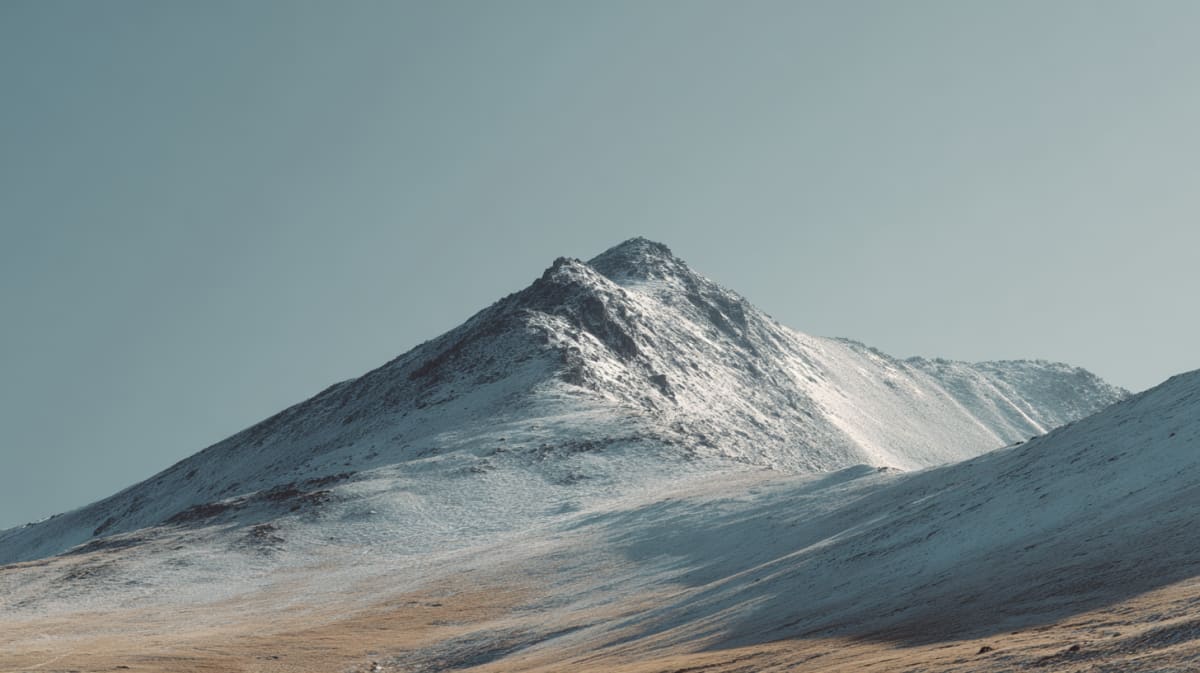
North Africa's highest peak — 4,167 metres above the Marrakech plain. Four days to stand on Morocco's roof.
6 Days
6-Day High Atlas Trails
Cedar forests, stone villages, and trails where the altitude rearranges your thinking — you descend with a clarity you didn't climb for.

6 Days
Mountain Villages
Berber villages, terraced fields, and a hospitality so deep it makes your own culture feel forgetful — which it probably is.
Sources: Toubkal National Park documentation;;High Atlas trekking guides