Rif Mountains
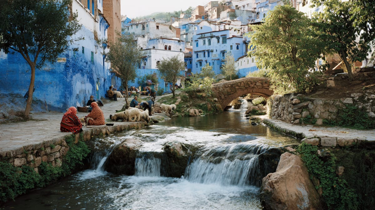
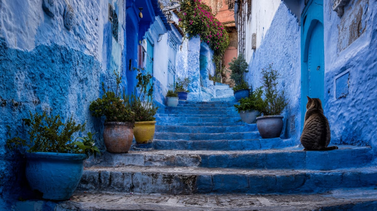
Chefchaouen sits at 600 metres in the western Rif Mountains — a range that runs parallel to the Mediterranean coast and catches the Atlantic moisture before it reaches the interior. The mountains are covered in cedar, pine, and wild herbs. The trails above the city climb through them to viewpoints from which the blue medina below looks like a painted tile dropped in a valley of green.
The Rif Mountains are the range that defines northern Morocco — a crescent of peaks running from the Mediterranean coast near Tangier to the Algerian border. Chefchaouen sits in the western Rif, at an altitude of 600 metres, backed by the twin peaks of Jebel Tissouka (2,050 m) and Jebel Meggou.
The Rif is geologically distinct from the Atlas. It is an extension of the Betic range in southern Spain — the same mountains that rise around Granada, separated from Morocco by the Strait of Gibraltar when the Atlantic flooded the Mediterranean basin. The rock is limestone, the valleys are steep, and the landscape is green in a way that surprises visitors expecting desert.
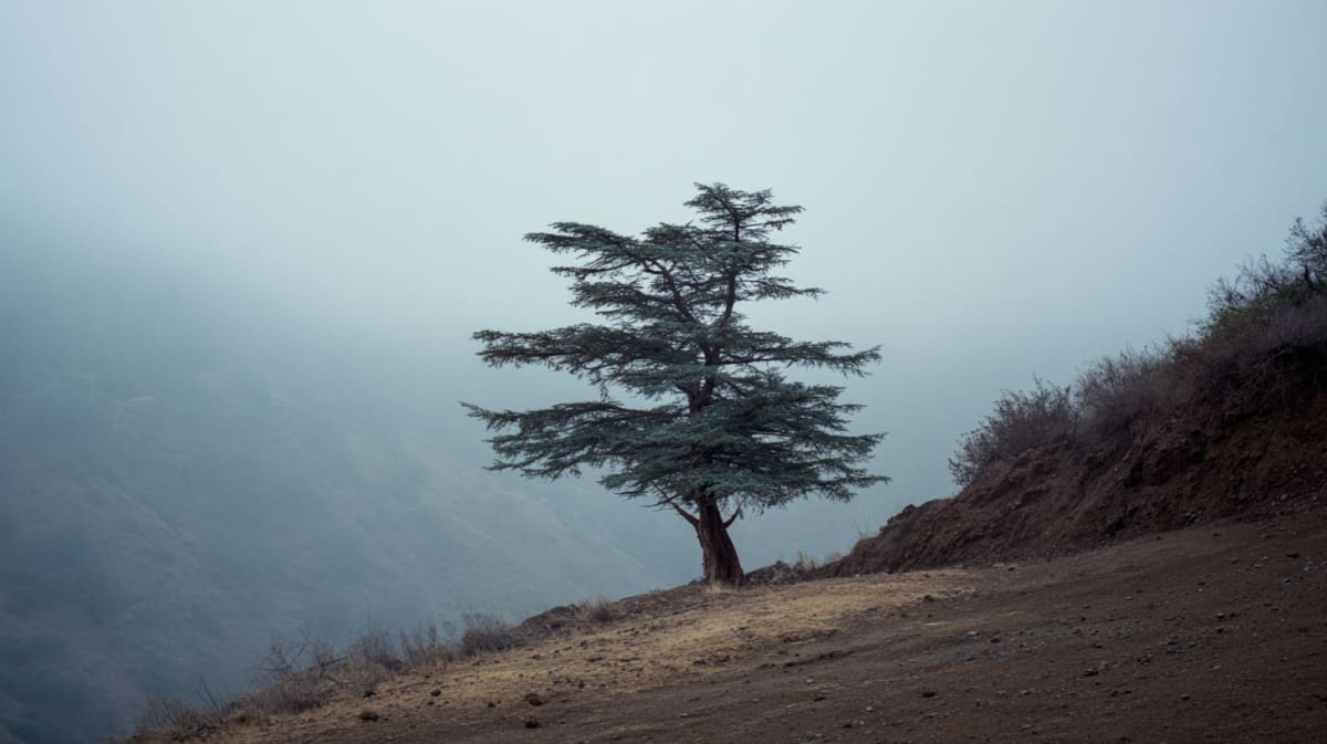
The Talassemtane National Park, south and east of Chefchaouen, protects the last stands of Moroccan fir (Abies maroccana) — a tree found nowhere else on earth. The forest is dense, damp, and looks more like the Pyrenees than the Sahel. The hiking trails into the park are accessible from Chefchaouen and range from half-day walks to multi-day treks.
The Rif is also the cannabis-growing region of Morocco. The fields are visible on the hillsides around Ketama, east of Chefchaouen. The crop is technically illegal but economically entrenched and culturally normalised. Visitors will be offered kif. Declining politely is straightforward.
Visitor Information
Explore More
Related Stories
Discover the history and culture of Chefchaouen

Explore More
Multi-day journeys featuring this place
Curated routes that pass through Chefchaouen
4 Days
Literary Tangier
Bowles, Burroughs, and the writers who made Tangier legendary — the cafés still serve the same mint tea and the city still doesn't explain itself.
5 Days
5-Day The Rif Mountains
Indigo walls, cedar forests, and cannabis fields nobody mentions — the Rif runs on a frequency the rest of Morocco can't quite tune into.

5 Days
Rif Mountains Trek
Chefchaouen to Akchour — waterfalls, cannabis fields, and the greenest mountains in Morocco.